 |
| I took a room at the Village Inn at White Pass. It was so good to be out of the cold! |
 |
| At the Cracker Barrel Store |
 |
| My new boots! (This was a leap of faith - I had ordered them blindly from REI. They did not carry my old model any more, but the salesperson swore that these would have exactly the same fit. And they did! No new blisters, yay!) |
 |
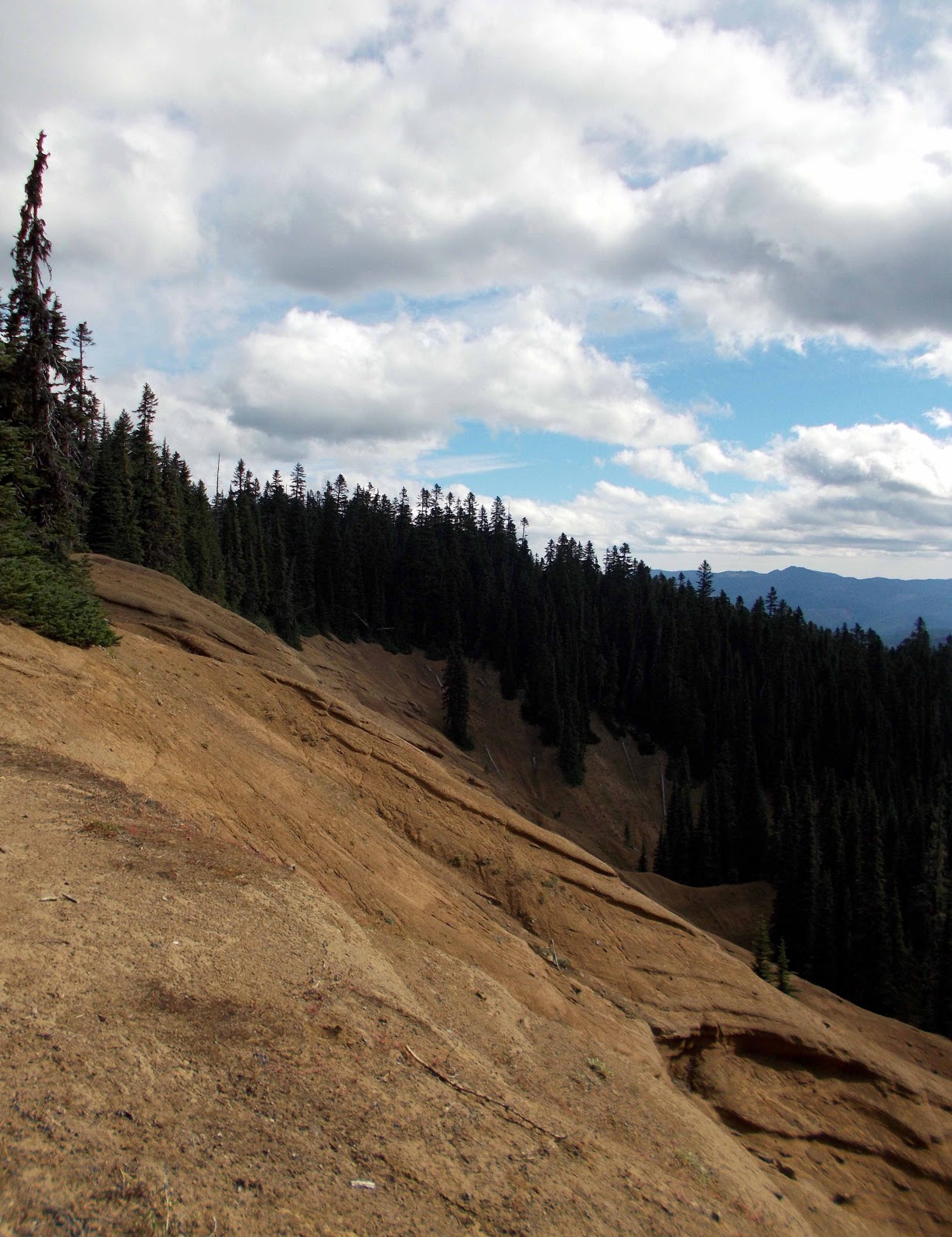
| One of the many lakes in the William O'Douglas Wilderness |
 |
| Robbus guarding my sleeping bag |
 |
| Somewhere on this part of the trail, I met two hikers, one of whom turned out to have stayed at the Hiker Hut in Etna, CA, at exactly the same time as I did three years ago! He did not remember me, "but there was this lady from Germany with really heavy leather hiking boots"... ;-) |
 |
| The Bumping River really did sound bumpy. |
 |
| More trail mail |
 |
| Mount Rainier playing peek-a-boo |
 |
| Lots of lupine |
 |
| Lupine |

 |
| Entering Mount Rainier National Park, woohoo! |


 |
| Mount Rainier at dusk |

 |
| Anderson Lake, with park boundary marker on the tree. The trail kept winding in and out of the park, so that the lake I camped at was still within the park, but the spot where I pitched my tent (and took the photo from) was not! |

 |
| Getting closer to Chinook Pass, the trail became incredibly crowded. It was the weekend, and for the last two miles there was a constant stream of day hikers coming up the trail. No solitary wilderness experience here! |

 |
| Lots of cars at the Chinook Pass trailhead. It was a zoo! |

 |
| I don't know if I would have noticed this little sign on the ground all by itself (I was so stressed out by the masses of people around me), but Anish, a south- bound hiker I met on the trail, alerted me that there would be trail magic ahead. (We immediately recognized each other as fellow PCT hikers among the throngs of day tourists by our ULA packs.) |
 |
| Double trail magic! Between Anderson and Dewey Lake, I had met a very nice day hiker couple whom I chatted with for a while. They gave me a hard-boiled egg (pictured). Not pictured: Upside Down, who fed me and a couple of other thru hikers chips and soda at Chinook Pass. It was just what I needed, having felt extremely sluggish and un-energetic that day. Thank you, Upside Down!!! |
 |
| Highway 410 leading up to Chinook Pass |
 |
| I didn't make it very far that day. I decided to take it easy and camp at Sheep Lake. |

 |
| Morning tea at Sheep Lake |
 |
| Tent chaos |
 |
| Looking back towards Sheep Lake and Chinook Pass |


 |
| Placer Lake |


 |
| Mount Rainier kept hiding behind other mountain ridges. |


 |
| PCT trail marker |
 |
| Some pictures actually look better in black and white. |
 |
| ...for example, these clouds |
 |
| Mount Rainier from the northeast |


 |
| Shortly before Bluebell Pass |

 |
| Interesting clouds |
 |
| Approaching a pass is always a bit like opening your Christmas presents: Oh, the suspense!!! What's is gonna be?! |

 |
| Scout Pass |

 |
| Bluebell |
 |
| Basin Lake |


 |
| Interesting plant |
 |
| ... in black and white |
 |
| Fireweed |
 |
| Clouds |
 |
| More clouds |
 |
| Lots of rocks |

 |
| At first I thought it was very aptly named "Airplane Meadows" because I kept hearing the noise of planes overhead (presumably on their way to SeaTac airport) but some locals I met at Camp Urich later told me that a pilot once crash-landed a plane in this meadow shortly after World War II. Amazingly, he walked away unharmed. |
 |
| I had not planned on camping at Airplane Meadows since it was over half a mile off-trail, but I needed water and I could not find the spur trail to Morgan Spring even after walking along that segment of the trail three times! |
 |
| The remains of the crashed airplane |
 |
| Government Meadow |
 |
| Camp Urich cabin. The horsemen there were really nice. We chatted for a while, and they gave me an apple and some pickles. |

 |
| Burn area |

 |
| The Forest Service in WA must have a special budget just for putting these signs up all over the place. I mean, it's nice to know what caused this burn, or that the forest I was walking through was "logged in 1974; planted in 1975" (another example), but seriously, aren't there worthier things to spend your money on?? |
 |
| Clearcut with fireweed |
 |
| That's not a speck of dirt; that's a bird! |

 |
| First views of the North Cascades |


 |
| Puzzling remnant of a trail marker up on Blowout Mountain. I wanted to take the side route to get water at the little lake, and this seemed like the right location for the trail junction - except that the trail number did not match with what was given in my book. I was rescued from my confusion by a team of three hikers from Israel (Mossad, Sugar High and John Wayne) whom I had seen earlier at Government Meadows. They were super nice, offered that I could camp with them instead up on the ridge, and gave me some water. Thanks, guys!!! |
 |
| The weather had turned cold and foggy. |
 |
| Up on Blowout Mountain |
 |
| Cooking dinner in my vestibule; rain and fog outside. |
 |
| Plants in the fog, at dusk. |
 |
| The weather was still pretty dismal the next morning. |
 |
| The footprint of my tent |


 |
| I found some flagging tape in the woods and made a sign for the elusive "When you see the number 29 on a tree, you've gone too far" water source after a fellow hiker (who was also looking for the water) walked right past it, claiming that "this could not be the junction"... |
 |
| Rain drops... |

 |
| Drying out my wet tent during lunch break |
 |
| Thankfully, the bad weather didn't last very long. |

 |
| Washington has a reputation for overgrown trails. Imagine trying to walk through this when everything is wet! (Yes, that's the trail right there.) |


 |
| I was so in love with my gaiters. They kept my feet and legs warm and dry. |

 |
| Power lines across the trail |

 |
| Camping with Late Start and Second Chance shortly before Dandy Creek |
 |
| Dew drops |

 |
| Very weathered sign at Yakima Pass |
 |
| On the way up to Mirror Lake |
 |
| Mirror Lake |
 |
| Second Chance and Late Start drying out their tents |


 |
| Looking down into the Snoqualmie River Valley, and at I-90 |
 |
| Because the weather had become nice and warm again so quickly, I decided to camp at Lodge Lake, clean up there, and not hike down to Snoqualmie Pass until the following morning for breakfast (which I had at the Pancake House, mjamm!). |
 |
| Morning tea |
 |
| It was a foggy morning. |
 |
| At the Lodge Lake junction |
 |
| Beaver Lake |
 |
| Still foggy, but the sun was beginning to burn it off. |
 |
| Ski lifts in the Snoqualmie Pass ski area |
 |
| I-90 junction |

No comments:
Post a Comment